From the photographic archive
Before the city
we know.
The streets we walk. The towns we pass. A little of what was here before us.
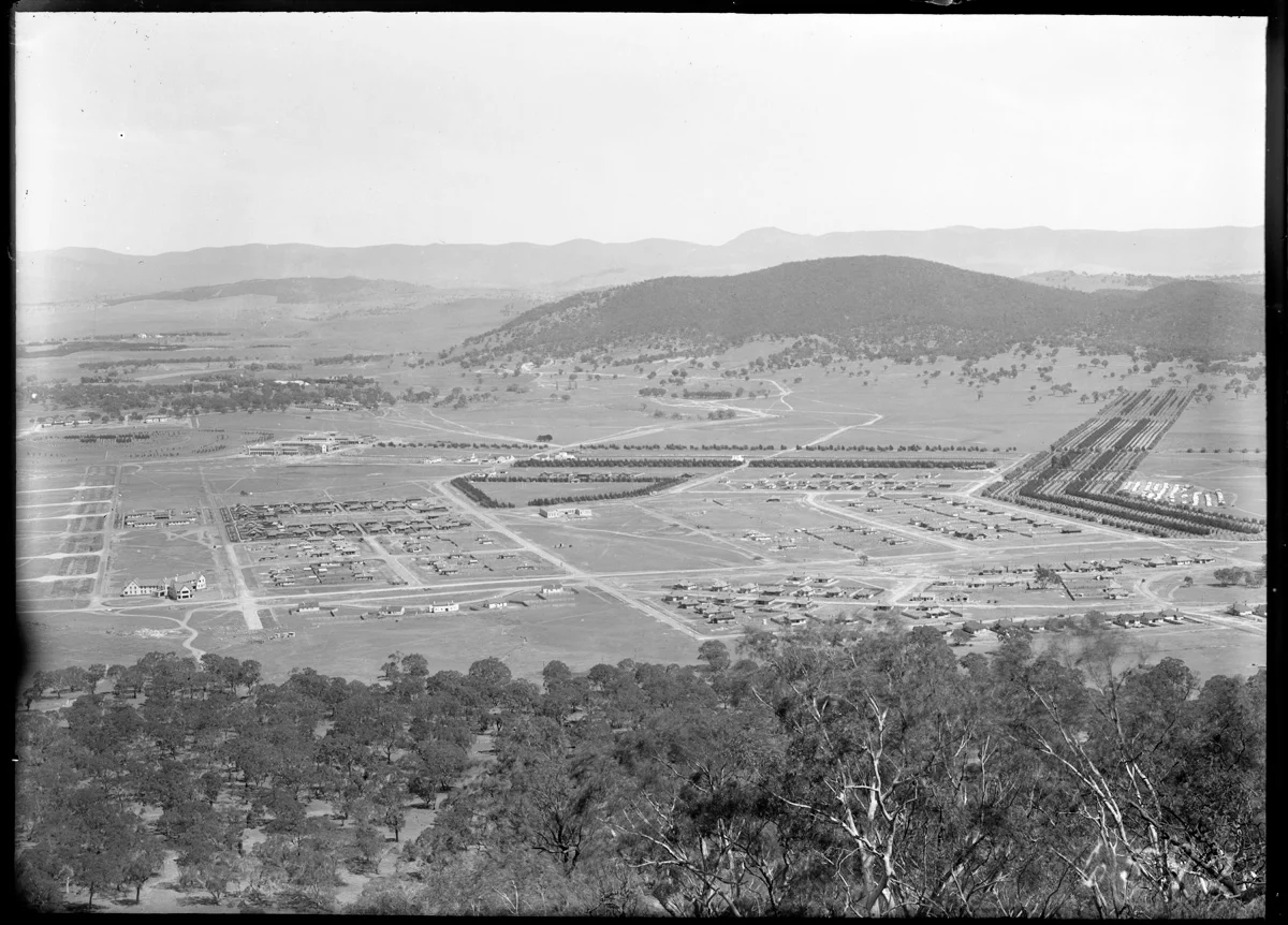
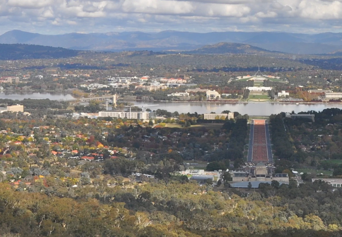
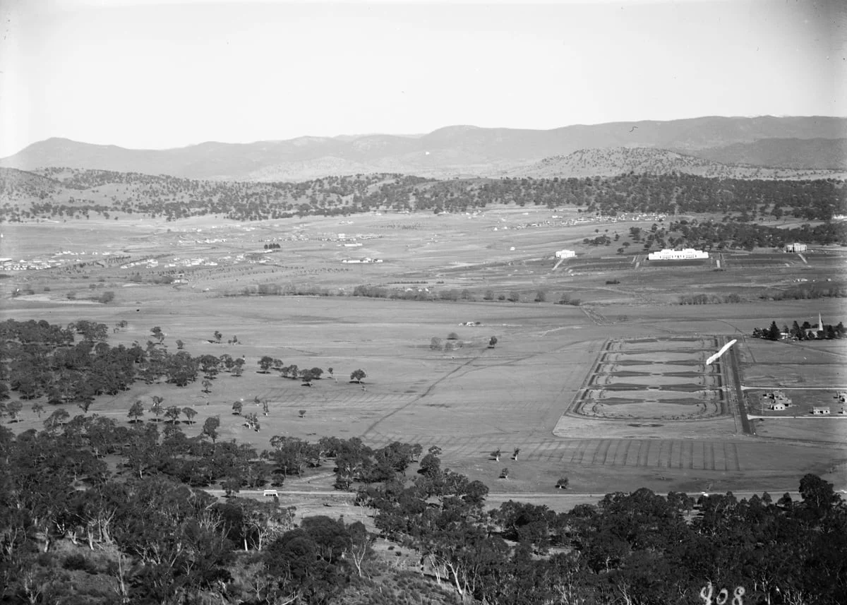
Look a little closerBraddon and Civic, 1921–1935.
A little further afield
All 13 areas ↗Goulburn
An established regional centre whose railway buildings and steam waterworks preserve the machinery of nineteenth-century growth.
02 / NSWLake George
An Aboriginal cultural landscape and closed lake basin whose water levels preserve an unusually long record of wet and dry years.
03 / NSWYass
Cooma Cottage, the town tramway and a community archive reveal different sides of Yass's history.
04 / NSWBungendore
A station photograph with a rather unexpected cargo.
05 / NSWQueanbeyan
Why Queanbeyan got a little more than a platform.
New in the archive
All stories ↗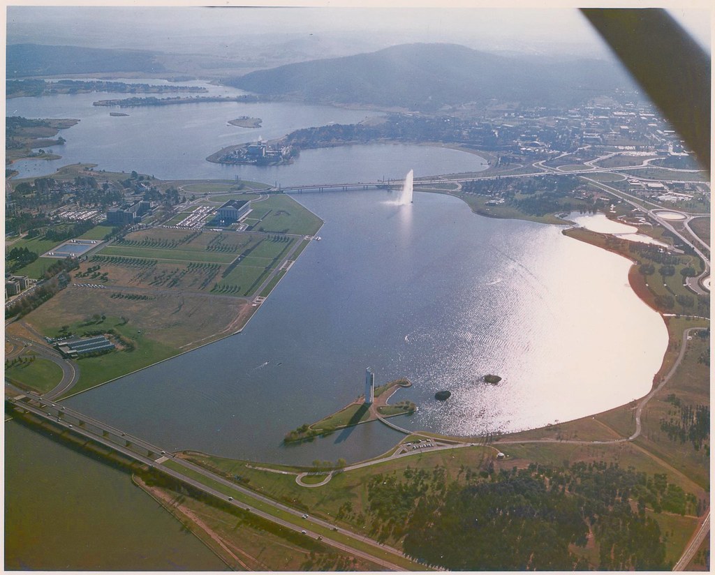
Lake Burley Griffin · c. 1970
The lake, before the trees filled in
A familiar sweep of water, with a much younger landscape around it.
Read the story ↗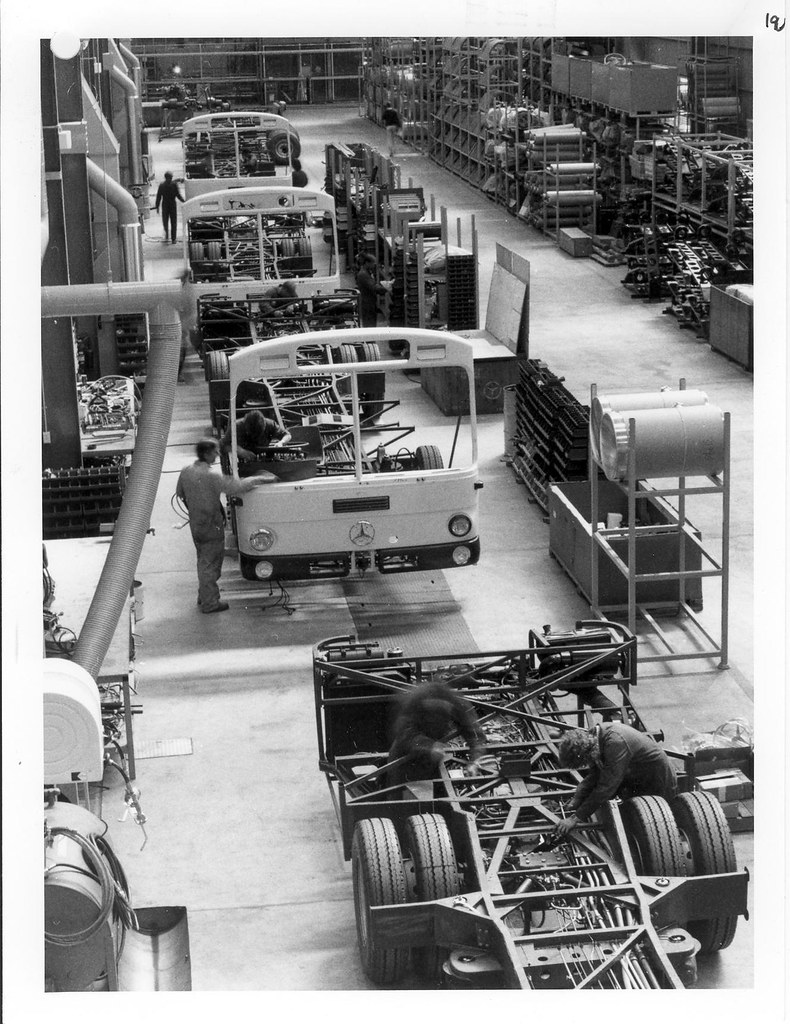
Canberra transport · photograph date unknown
Before the first passenger
Canberra’s city buses, still taking shape on a Melbourne factory floor.
Read the story ↗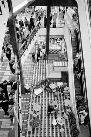
City / Civic · the mall opened 6 March 1963
Meet you at Monaro Mall
Escalators, shopping bags and a prime minister who could barely hear the speeches.
Read the story ↗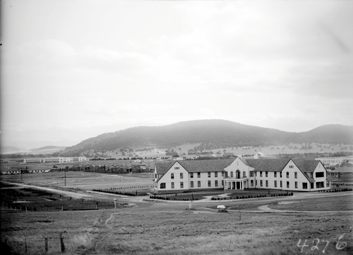
Hotel Ainslie · catalogue range 1921–1935
Hotel Ainslie, before the city filled in
A substantial hotel, a road at its door, and room to see right across to the hills.
Read the story ↗Your part of Canberra
District histories ↗Out of the archives
Browse all stories ↗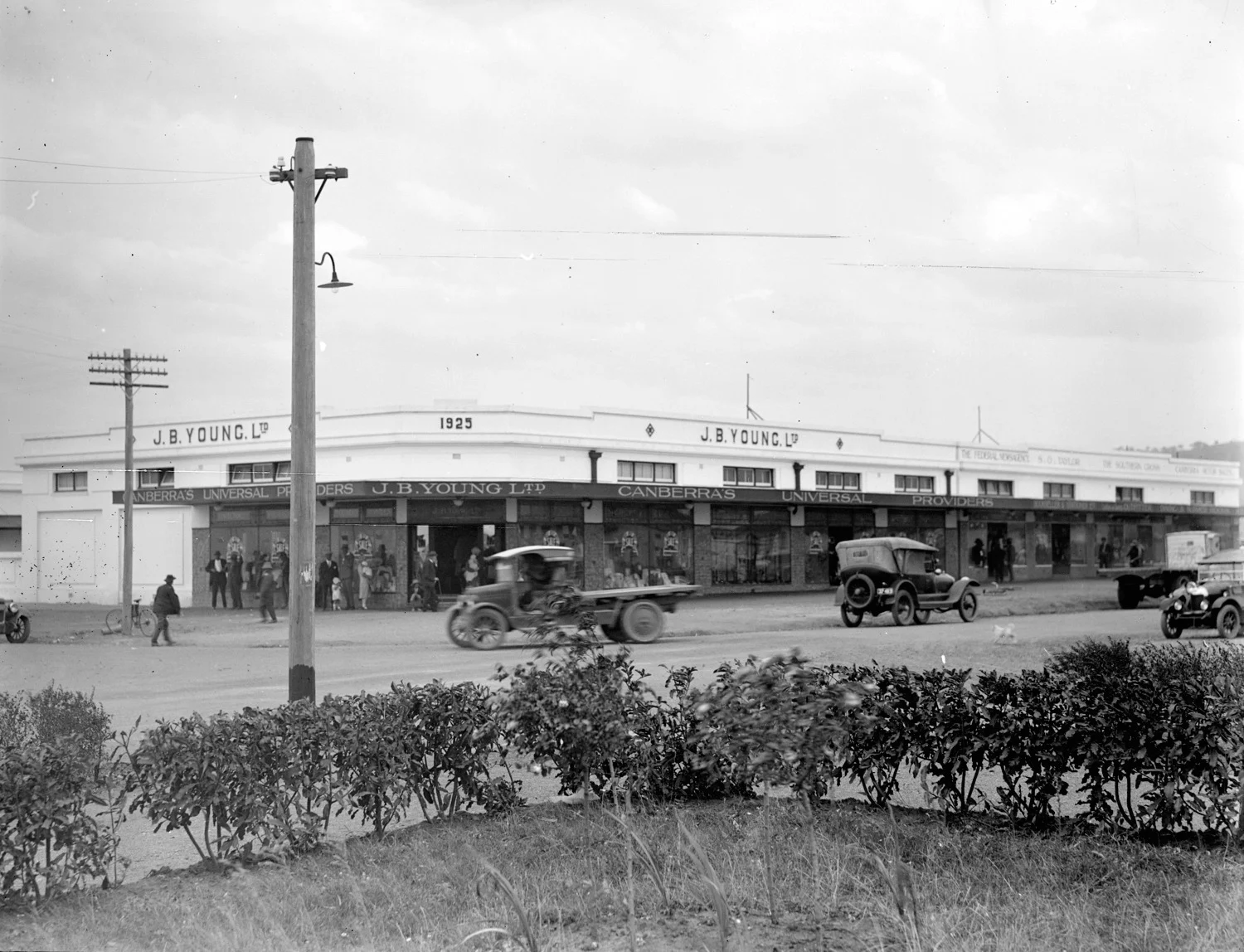
Canberra / 1921–1935
A little shopping in Kingston
Cars at the kerb and the name J. B. Young’s above the shop.
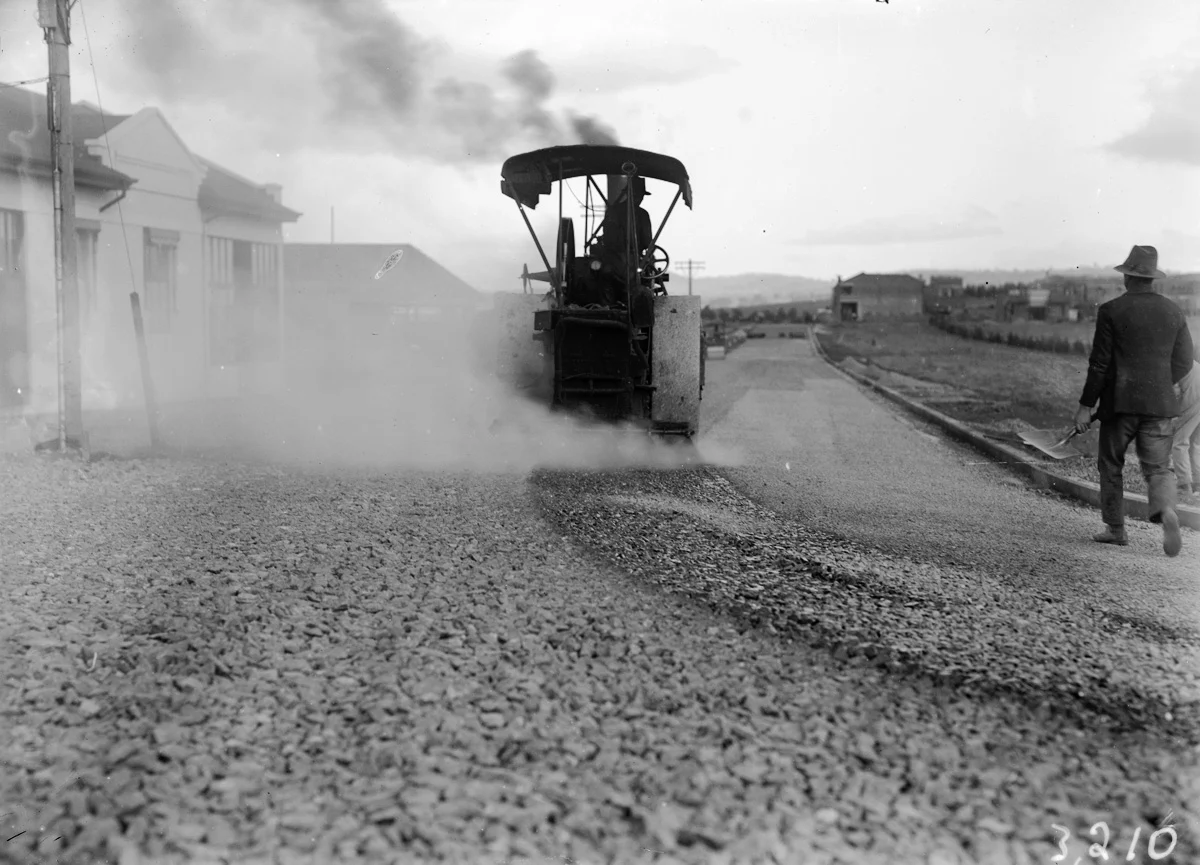
Canberra / 1921–1935
The making of Mort Street
A steamroller, a road crew, and a street taking shape.
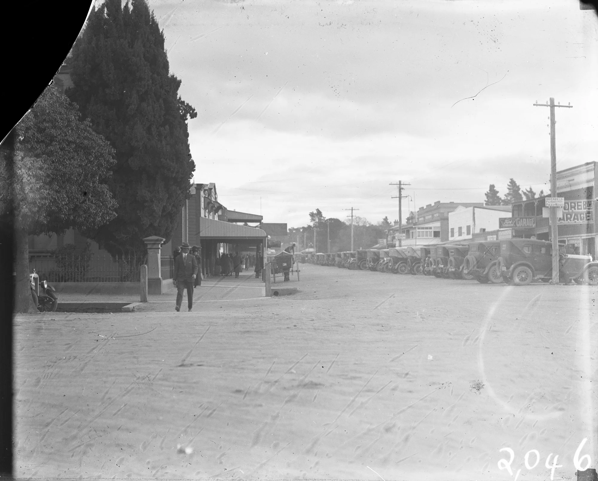
Queanbeyan / 1921–1935
Meet you on the corner
Monaro and Crawford Streets, in the days of these motor cars.
Kept alive by the people who remember
You might know
the missing bit.
A shop name. A face in the crowd. The year your family arrived. Around 3,000 people follow Lost Canberra on Facebook, and the comments often become part of the story.