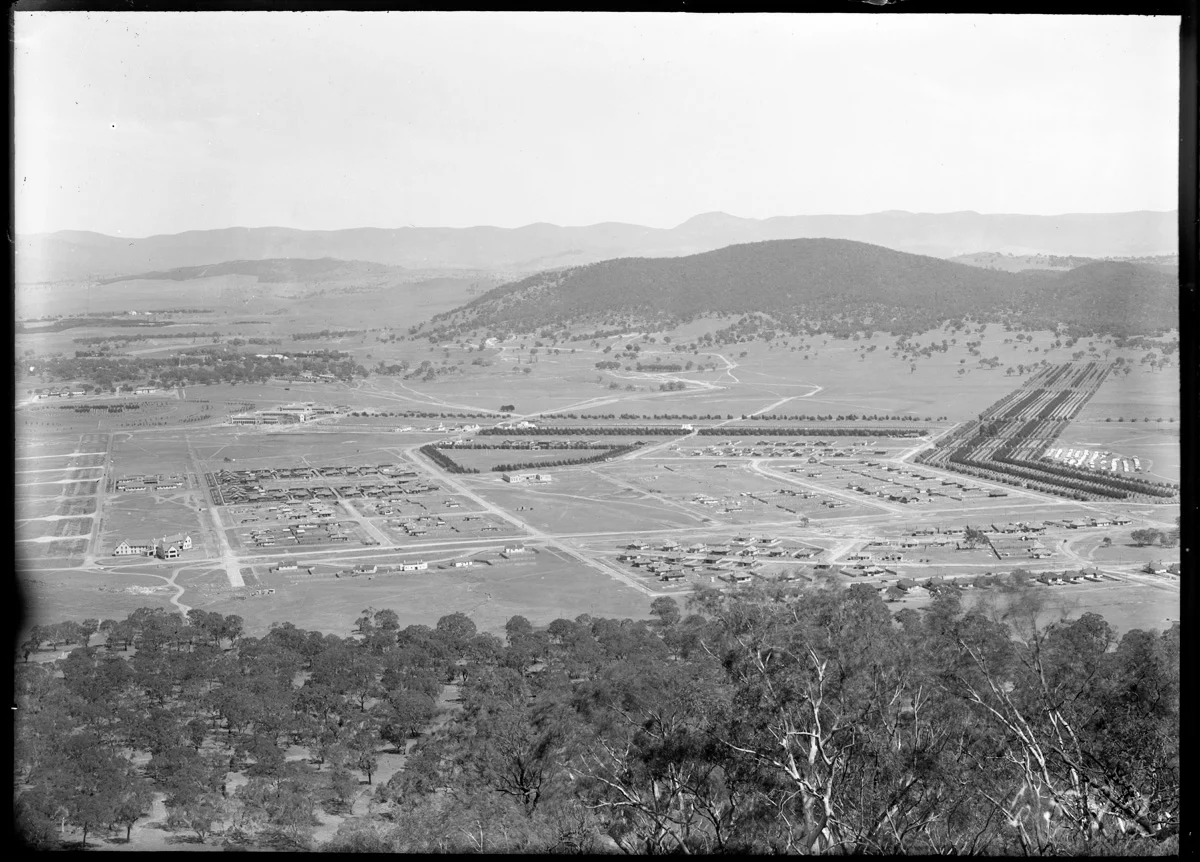
There are familiar shapes in this view from Mount Ainslie, but a lot more space between them.
The Mildenhall collection identifies the photograph as Braddon and Civic Centre, with Black Mountain behind. Roads cut across open ground. Buildings sit in small clusters. It takes a moment to place the city we know inside this older one.
The catalogue gives a broad date range of 1921 to 1935. We have kept that range rather than guessing a particular year. The photograph is a useful reminder that the plan of a city and the experience of living in it can be very different things.
Which part of the view helped you get your bearings? If you can identify a building or a road, tell us what you spotted.
Know a little more? Share a memory or correction, or join the conversation on Facebook.