Canberra & its neighbours
Every place has a past.
Start with a district, a town or a familiar stretch of country. Follow the photographs and the stories back to the places you know.
22 areas to explore
Canberra, district by district
Explore Canberra ↗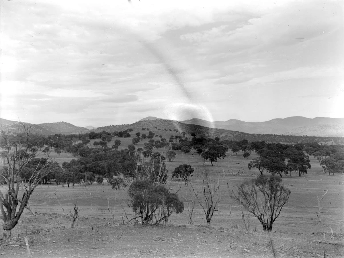 Canberra district
Woden Valley
Soldier-settler properties, experimental housing and a planned town centre share the Woden landscape.
Explore Woden Valley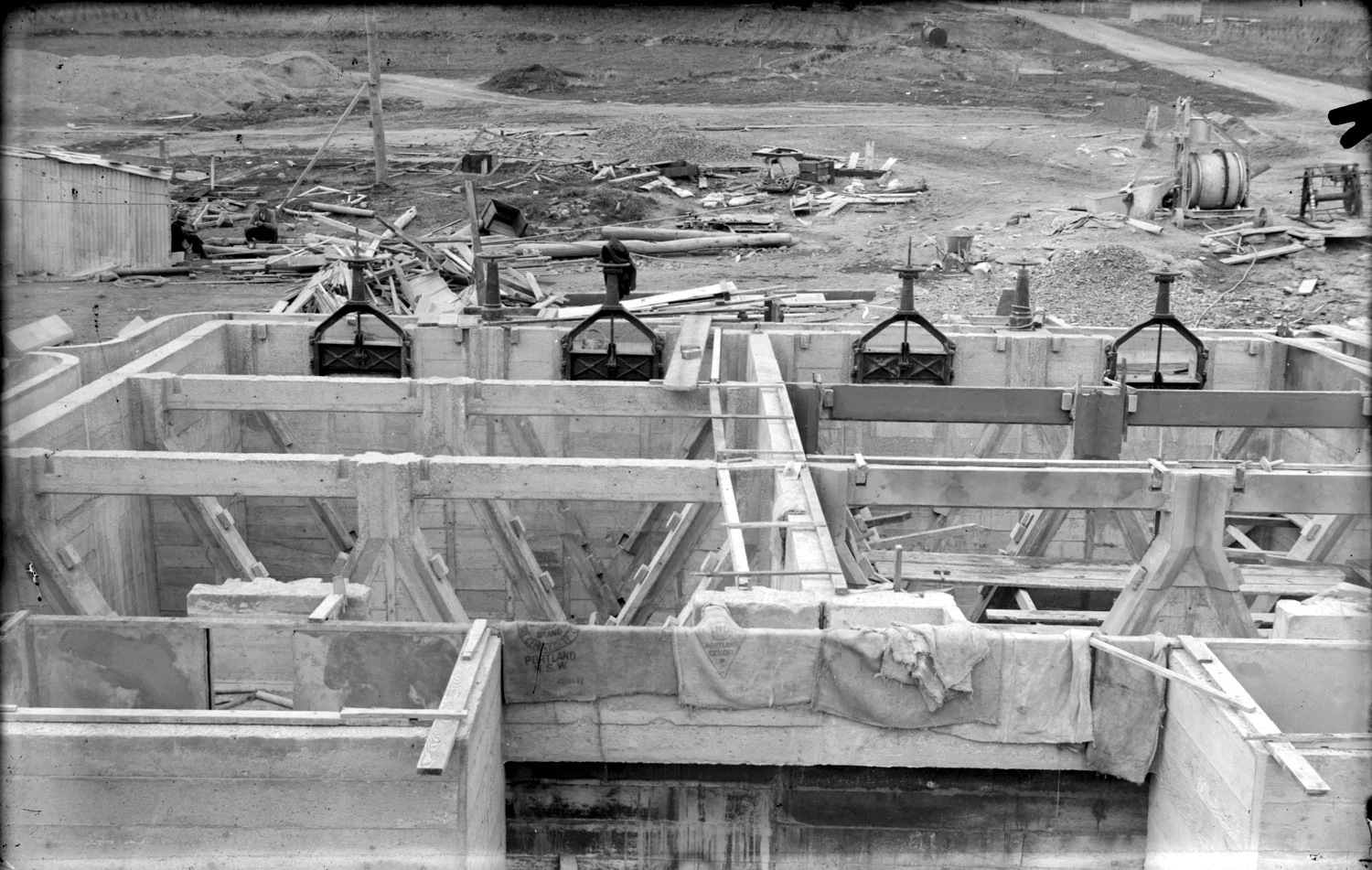 Canberra district
Weston Creek
Old homestead sites and the nearby bushfire memorial preserve stories beneath and around Weston Creek's suburbs.
Explore Weston Creek Canberra districtBelconnen
Lake Ginninderra anchors a planned town whose school sites and naval history reach well beyond the suburbs.
Explore Belconnen Canberra districtTuggeranong
A schoolhouse, a working homestead and the inauguration of Canberra's southern new town reveal Tuggeranong's layers.
Explore Tuggeranong Canberra districtGungahlin
Ochre grounds, village buildings and watercourses reveal the layers beneath Gungahlin's modern development.
Explore Gungahlin Canberra districtMolonglo Valley
Molonglo's recent neighbourhoods belong to a longer story of Country, forestry, fire recovery and city planning.
Explore Molonglo Valley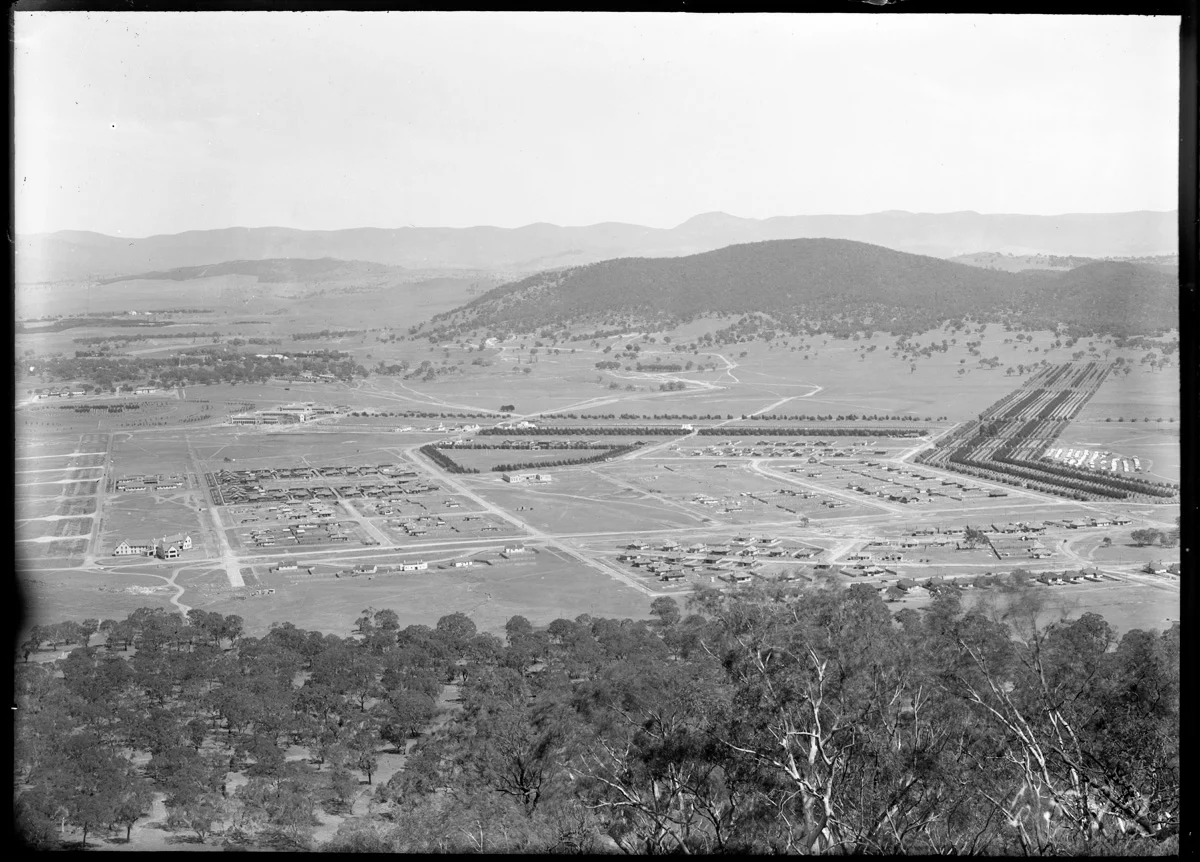 Canberra district
Inner North
Shelter trees, public-service cottages and a rural church reveal several beginnings in Canberra's inner north.
Explore Inner North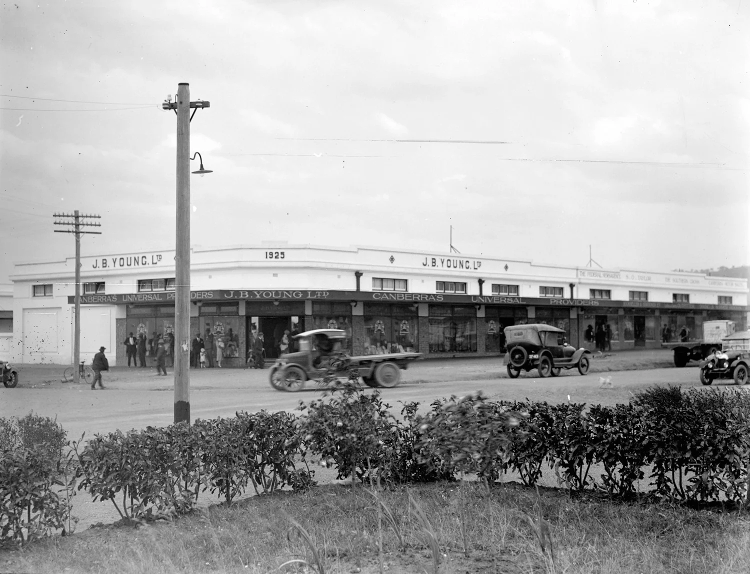 Canberra district
Inner South
Kingston's power station, Forrest's early housing and Manuka's sporting places connect national construction with daily life.
Explore Inner South Country & villagesRural ACT
An archive route through Birrigai, Tharwa, Tidbinbilla, Namadgi and Mount Stromlo.
Explore Rural ACTA little further afield
Explore the region ↗Braidwood
A Station Street. A Railway Hotel. But no trains.
Explore Braidwood Town & districtBungendore
A station photograph with a rather unexpected cargo.
Explore Bungendore Town & districtCollector
The building behind a familiar roadside name.
Explore Collector Town & districtCooma
The Snowy Scheme, remembered one flag at a time.
Explore Cooma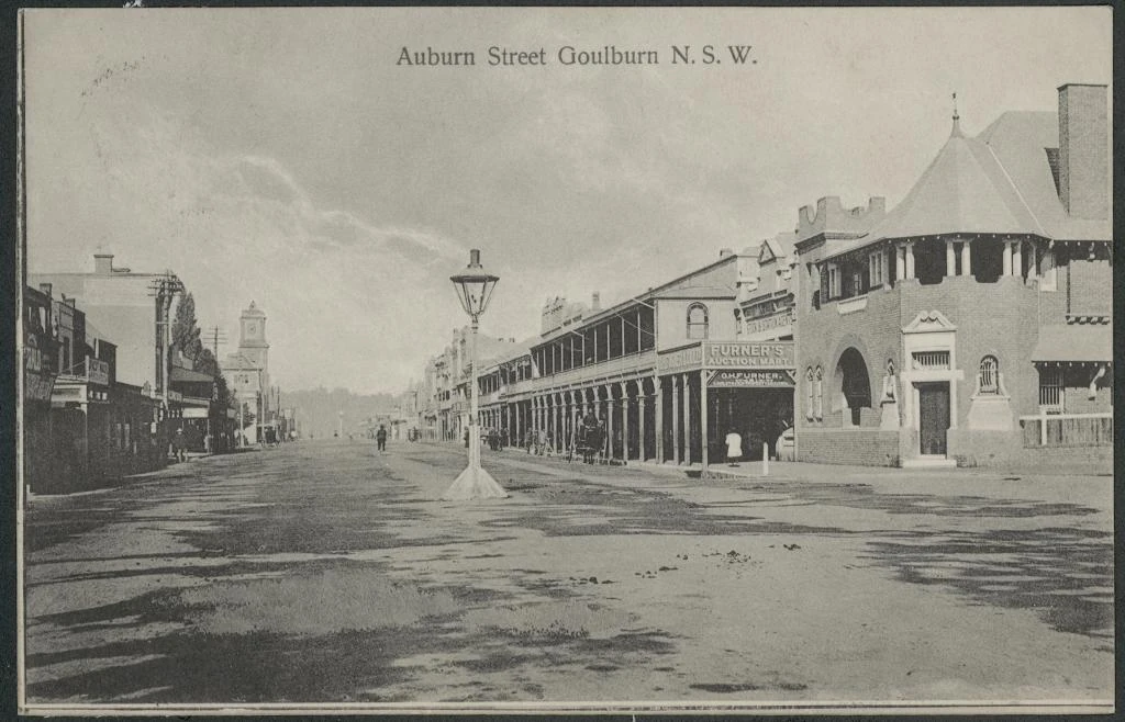 Town & district
Goulburn
An established regional centre whose railway buildings and steam waterworks preserve the machinery of nineteenth-century growth.
Explore Goulburn Town & districtGundaroo
Gundaroo's surviving buildings record a village that shifted, grew and kept finding new uses for old places.
Explore Gundaroo Town & districtLake Bathurst
A former railway stop whose school and church buildings preserve traces of nineteenth-century village life near a fluctuating wetland.
Explore Lake Bathurst LandscapeLake George
An Aboriginal cultural landscape and closed lake basin whose water levels preserve an unusually long record of wet and dry years.
Explore Lake George Town & districtMurrumbateman
An old school, a community association and the first Clonakilla vines connect Murrumbateman's rural chapters.
Explore Murrumbateman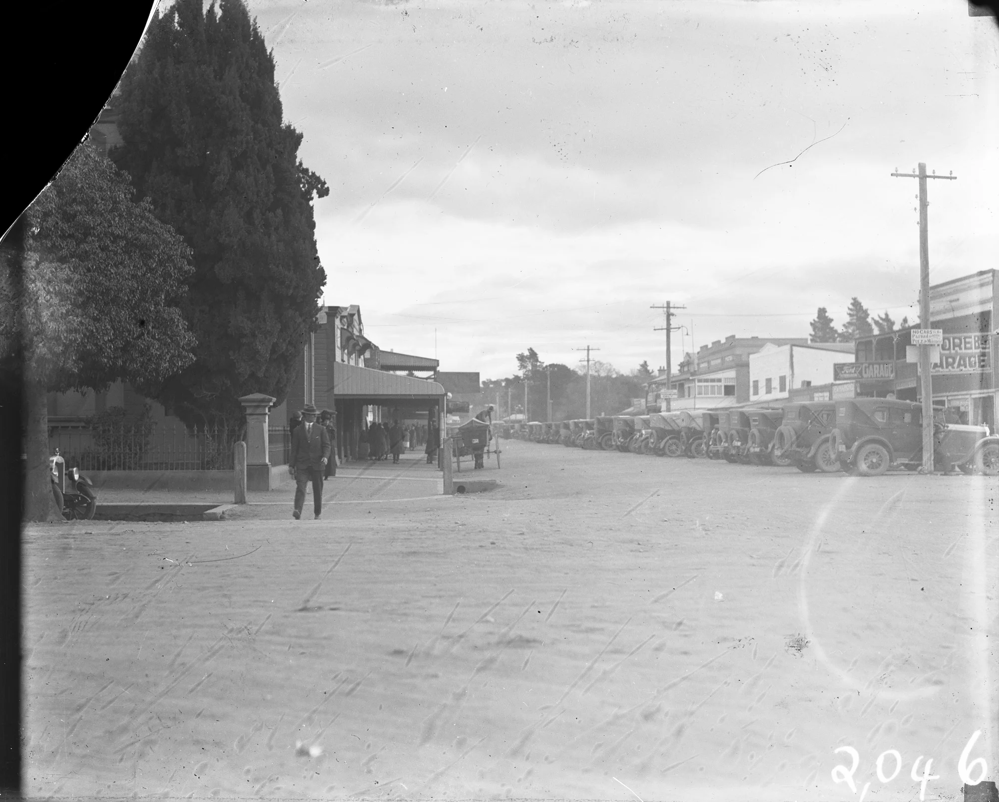 Town & district
Queanbeyan
Why Queanbeyan got a little more than a platform.
Explore Queanbeyan Town & districtSutton
School photographs, family papers and local memories make Sutton's history tangible.
Explore Sutton Town & districtTarago
Tarago's station, goods shed and farming valley connect nineteenth-century transport with the later story of Woodlawn.
Explore Tarago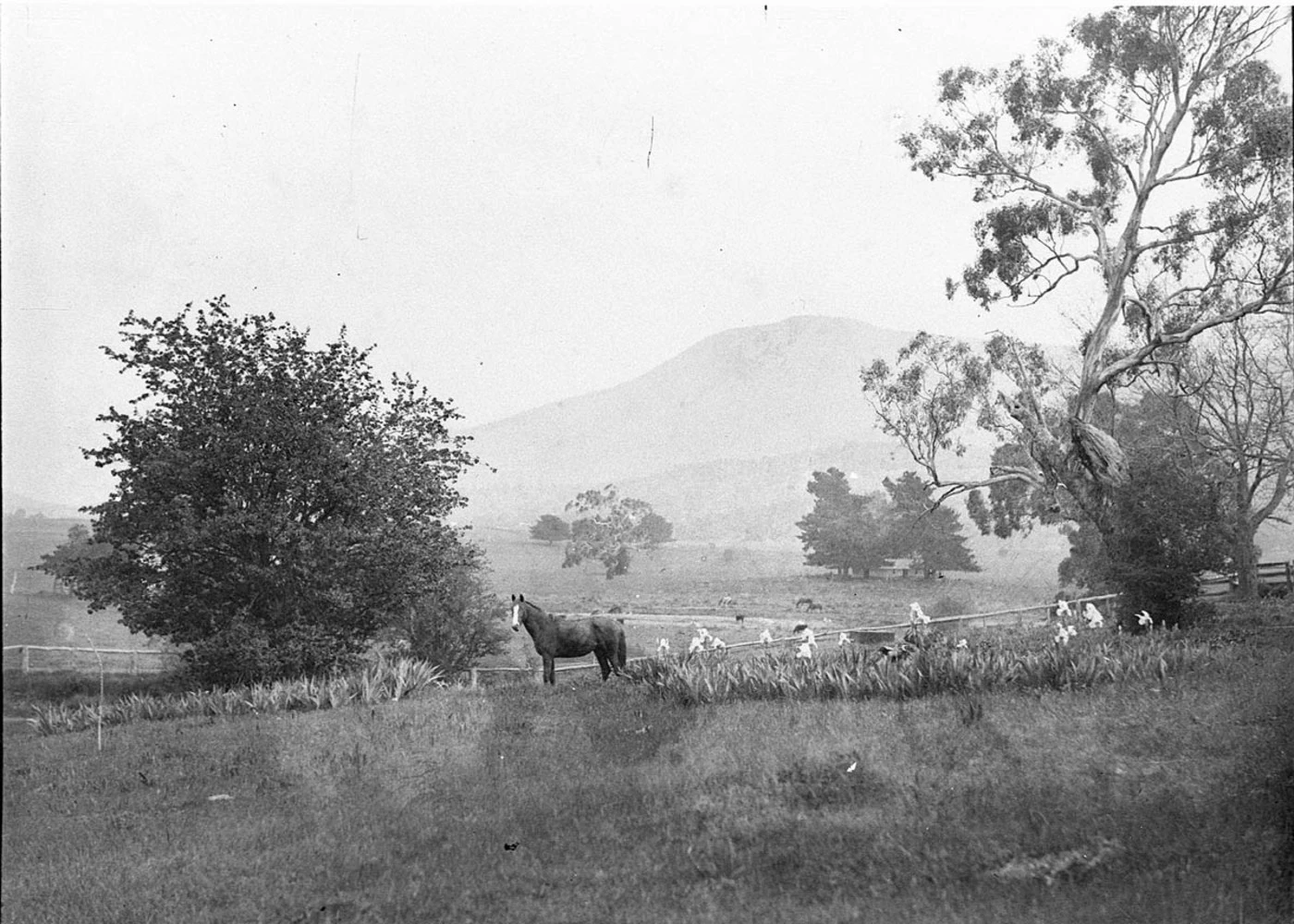 Town & district
Yass
Cooma Cottage, the town tramway and a community archive reveal different sides of Yass's history.
Explore YassNo places match that search. Try a nearby town or district.
The archive starts with districts and towns. Suburbs, streets and individual photograph locations will join them as the collection grows. Area groupings help you browse; they are not surveyed boundaries.